Cascadian Wilderness Endurance Series

Cascadian Wilderness Endurance SeriesCascadian Wilderness Endurance SeriesCascadian Wilderness Endurance SeriesCascadian Wilderness Endurance Series
  • Home
  • Rules and Guidelines
  • Routes
    • Devil's Dome
    • Olympic Coast
    • Mother Mountain
    • Easy Pass
    • Chinook Pass
    • Alpine Lakes Grand Tour
    • Graves Creek
    • Double Desolation
    • La Bohn Traverse
    • Windy Peak Lollipop
    • Spider on Steroids
    • Loowit Trail
    • Ben and Kevin
    • Owyhigh Lakes Loop
    • Shellrockin' Loop
    • Buckskin Ridge
    • Seven Lakes
    • Baker's Dozen
    • Big Jim and the Chiwaukum
    • Kettle Crest
    • Purple Rainbow
    • Ancient Lakes
    • Mount Aix Nelson Ridge
    • WAS Up
    • ONDA Badlands Challenge
    • Oh Deer
    • 3 Sisters Challenge
    • Here Kitty Kitty
    • Serene Minnesota
    • Patches
  • WIEC Routes
    • West Mountains Loops
    • North Idaho + NW MT
    • Eastern Idaho + MT/WY
    • Central Idaho Routes
    • Southern Idaho + Oregon
  • Route Map
  • Facebook UPWC Route Beta
  • Facebook WIEC Route Beta
  • Results
  • Record Book

Cascadian Wilderness Endurance Series

Cascadian Wilderness Endurance SeriesCascadian Wilderness Endurance SeriesCascadian Wilderness Endurance Series
  • Home
  • Rules and Guidelines
  • Routes
    • Devil's Dome
    • Olympic Coast
    • Mother Mountain
    • Easy Pass
    • Chinook Pass
    • Alpine Lakes Grand Tour
    • Graves Creek
    • Double Desolation
    • La Bohn Traverse
    • Windy Peak Lollipop
    • Spider on Steroids
    • Loowit Trail
    • Ben and Kevin
    • Owyhigh Lakes Loop
    • Shellrockin' Loop
    • Buckskin Ridge
    • Seven Lakes
    • Baker's Dozen
    • Big Jim and the Chiwaukum
    • Kettle Crest
    • Purple Rainbow
    • Ancient Lakes
    • Mount Aix Nelson Ridge
    • WAS Up
    • ONDA Badlands Challenge
    • Oh Deer
    • 3 Sisters Challenge
    • Here Kitty Kitty
    • Serene Minnesota
    • Patches
  • WIEC Routes
    • West Mountains Loops
    • North Idaho + NW MT
    • Eastern Idaho + MT/WY
    • Central Idaho Routes
    • Southern Idaho + Oregon
  • Route Map
  • Facebook UPWC Route Beta
  • Facebook WIEC Route Beta
  • Results
  • Record Book
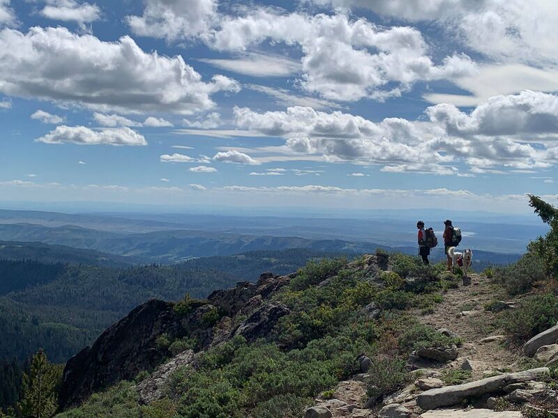
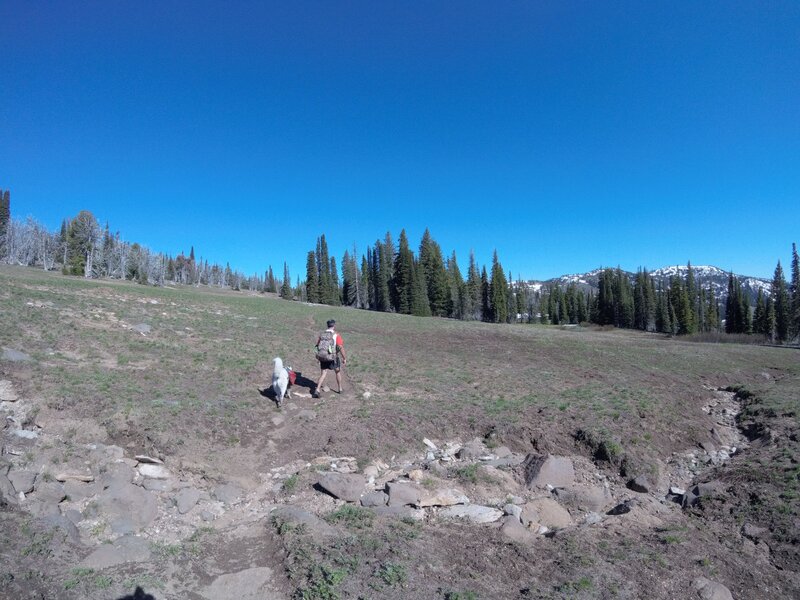
Two hikers and a dog on a mountain trail overlooking a vast landscape.

Central Idaho Routes

Description

Bighorn Crags

Route: Bighorn Crags Trail #6021, Ship Island Trail #6030, off trail, Puddin Mountain Trail #6147, Waterfall Trail #6045, then Bighorn Crags Trail.

Access: The trailhead requires high ground clearance; a Subaru or similar vehicle may make it. From Salmon, the washboard and winding road takes about 2.5 hours. From Challis, the smoother road takes about 2 hours. The final 11 miles take almost an hour.

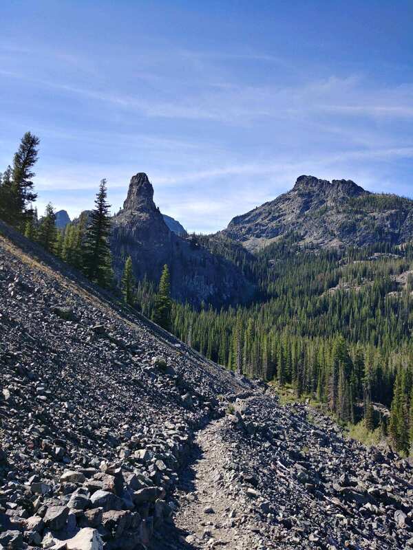
This route crosses two off-trail passes. The first is a Class 3 scramble; the second is a walk-up. It passes at least nine lakes, with many more nearby. The area is renowned as one of the most scenic parts of the Frank Church Wilderness, and the route is spectacular from beginning to end.

Idaho Sisters

- 45 miles, 15,000ft climbing
- 1763-7000 ft asl
- Clearwater Nat’l Forest, Northeast of Orofino, Idaho
- St. Joe Ranger District - Avery, 208-245-4517, Tim Lewis - 208-464-1269
- This trailhead is off of a paved road. If coming from the south or west, requires travel on a dirt road suitable for passenger cars.

“The good news? This route only has two big climbs. The bad news? They’re doozies. Most of this route is contained within the Mallard-Larkins Pioneer Area in the Clearwater Nat’l Forest. While it doesn’t have official Wilderness designation, it is a roadless district and is managed as such. This special area is at the southern end of the largest inland temperate rainforest in the world, and it's home to many species that don't exist anywhere else east of the Cascades. Worth the drive from anywhere, the landscape is characterized by steep mountains rising out of lush, green forests. This double lollipop route includes the Black Mountain Trail #396, a tag of the Black Mountain Lookout, Black Lake Trail #685, The Nub Trail #399, Isabella Creek Trail #95, Elmer Creek Trail #96, Smith Ridge Trail #240, and back to The Nub Trail #399 until you get back to North Fork Road 247. Turn right and finish with 2.75 easy miles on the road to get back to where you started. This route is one of the more difficult ones in the series. Black Lake Trail is mostly faint, Isabella Creek Trail is overgrown in spots with many creek crossings, and The Nub Trail is thickly overgrown for approximately half of its distance. Not to mention the 1/4 mile section of the Elmer Creek Trail where it is non-existent (as of July '19). However, there were flags through this part, and recent work done lower on the trail, so hopefully the forest service will be clearing the rest of it soon.”

Little Sisters, Single Lollipop
- 25 miles, ~8,000ft climbing
- 3100-6562 ft asl
"This shorter distance option consists of the northern loop only, and excludes much of the primitive and difficult to follow trail. It does, however, include the most scenic parts of the route. See above description for the short bushwhack on the Elmer Creek Trail (unless the USFS has finished the trail, which is quite possible)."

Seven Devils Loop

- 27 miles, 5,000ft climbing
- 6416-8050 ft asl
- Hells Canyon Wilderness, west of Riggins, Idaho
- Riggins Ranger Station, 208-628-3916
- This trailhead is up a dirt road that is suitable for passenger cars.

“The Seven Devils Loop is about 27 miles and consists of the Seven Devils Trail and the South Boise Trail. Located well above and to the west of the small town of Riggins, the route begins around 7500ft above sea level. Most travelers hike counter-clockwise, taking on the the more difficult west side of the loop first. The trail is well defined, dipping and climbing along wooded hillsides and rocky terrain. Much of the trail winds around large hills and has excellent views of Hells Canyon. Within the loop there are numerous lakes to visit, but expect at least 1 mile of hiking/running and 400 feet of climbing. Some of these side trails are not well maintained and require good navigational skills. However, that's the beauty of this route. You can make it what you want, choosing from numerous lakes to jump in or peaks to summit. If you decide to climb to any of the high points, be prepared for scrambling and loose rock. Water can get scarce on the main loop, especially later in the season, so I would recommend filling up your bottles every chance you get. The southern half of this loop is dry, so be careful to not run out of water on the way around.”
Newspaper Article

Thunder Mountain Loop

- 50 miles, 7,200 ft climbing
- 4300-8500 ft asl
- Frank Church/River of No Return Wilderness, northeast of Yellow Pine, Idaho and past the Stibnite Mine
- Payette Nat'l Forest, McCall Ranger Station, 208-634-0700
- Article about the history of Thunder Mountain
- This trailhead is down a long dirt road that is suitable for passenger cars.

"This route starts and ends in the old Thunder Mountain mining area. This forgotten town was the site of a brief and mostly disappointing gold boom around the turn of the 20th century. You will see the remnants of many log buildings and even an old stamp mill to the right of the trail along Monumental Creek. The Monumental Creek Trail is easy to follow, but can be overgrown in spots. It crosses the creek many times, so your feet will get wet. Route includes about 5 miles of dirt road with the remaining 45 miles being 100% single track and one primitive section on Lookout Mountain Ridge Trail. The twenty miles between the Big Creek ford and the Lookout Mtn Trailhead are dry, so carry ample water for this section. There is a spring right on the trail less than a quarter mile from the trailhead. The vast majority of the climbing on this route is in the last twenty miles (if you go clockwise), so be prepared for that."

Shorter Option:
- ~25 miles, ~5,300 ft climbing
"This route still gives you a great taste of the remoteness of the RONR wilderness, but you do miss the best part of the 50 mile route, which is the long Lookout Ridge section once you climb up after fording Big Creek. You do, however, avoid the Big Creek ford. You will still pass by the old Lookout Mountain fire lookout site."

Details

Bighorn Crags

28 miles / 7,100 feet of climbing

Salmon–Challis National Forest
Frank Church–River of No Return Wilderness
North Fork Ranger District: 208-865-2383

Gaia GPS:
https://www.gaiagps.com/datasummary/track/76ade7f3-57d9-4e7a-b151-587ce3cd3fe4/?layer=GaiaTopoRasterFeet

GPX download:
https://web.archive.org/web/20240625114029/http://wildidahoendurancechallenge.com/uploads/1/2/4/9/124956188/bighorn_crags.gpx

Idaho Sisters

Maps and route files recovered from the archived WIEC site.

Gaia GPS 1:
https://www.gaiagps.com/datasummary/track/aed4283ab8ca9dcc3445dbc9033a7ac46ba6b5c0/?layer=19E29651E9AF62358C93404D9BA3F2

Gaia GPS 2:
https://www.gaiagps.com/datasummary/track/4cfee0e9-d772-4ae9-b513-6a5599d5e6f7/?layer=GaiaTopoRasterFeet

GPX download:
https://web.archive.org/web/20230307085332/http://wildidahoendurancechallenge.com/uploads/1/2/4/9/124956188/little-sisters.gpx

Seven Devils Loop

Maps and route files recovered from the archived WIEC site.

Gaia GPS:
https://www.gaiagps.com/datasummary/track/fa740b47d43633379d002c450df1d7da8c602f70/?layer=19E29651E9AF62358C93404D9BA3F2

GPX download:
https://web.archive.org/web/20240605093754/https://wildidahoendurancechallenge.com/uploads/1/2/4/9/124956188/wiec-seven-devils-loop.gpx

Thunder Mountain Loop

Maps and route files recovered from the archived WIEC site.

Gaia GPS 1:
https://www.gaiagps.com/datasummary/track/423060760a800f9681fa47829696eb913f87af65/

Gaia GPS 2:
https://www.gaiagps.com/datasummary/track/b69c5394-f328-4834-a86d-09feea39e07e/?layer=GaiaTopoRasterFeet

GPX download:
https://web.archive.org/web/20241008154752/http://wildidahoendurancechallenge.com/uploads/1/2/4/9/124956188/thunder-mtn-25mi.gpx

Copyright © 2024 UltraPedestrian Wilderness Challenge - All Rights Reserved.